Holy Cow. This photo of Piper has received over 23,000 views on Flickr since yesterday morning:

I wonder… does having 23,000 views qualify as “going viral”? It is certainly the most buzz any content that I’ve ever created has garnered in a short period of time! To her credit, Piper is pretty freakin’ adorable in this photo so I don’t blame those 23,000 people for clicking on her photo. 😉 The full resolution image can be viewed here if you’re interested in seeing it in all its viral glory on Flickr.
~~
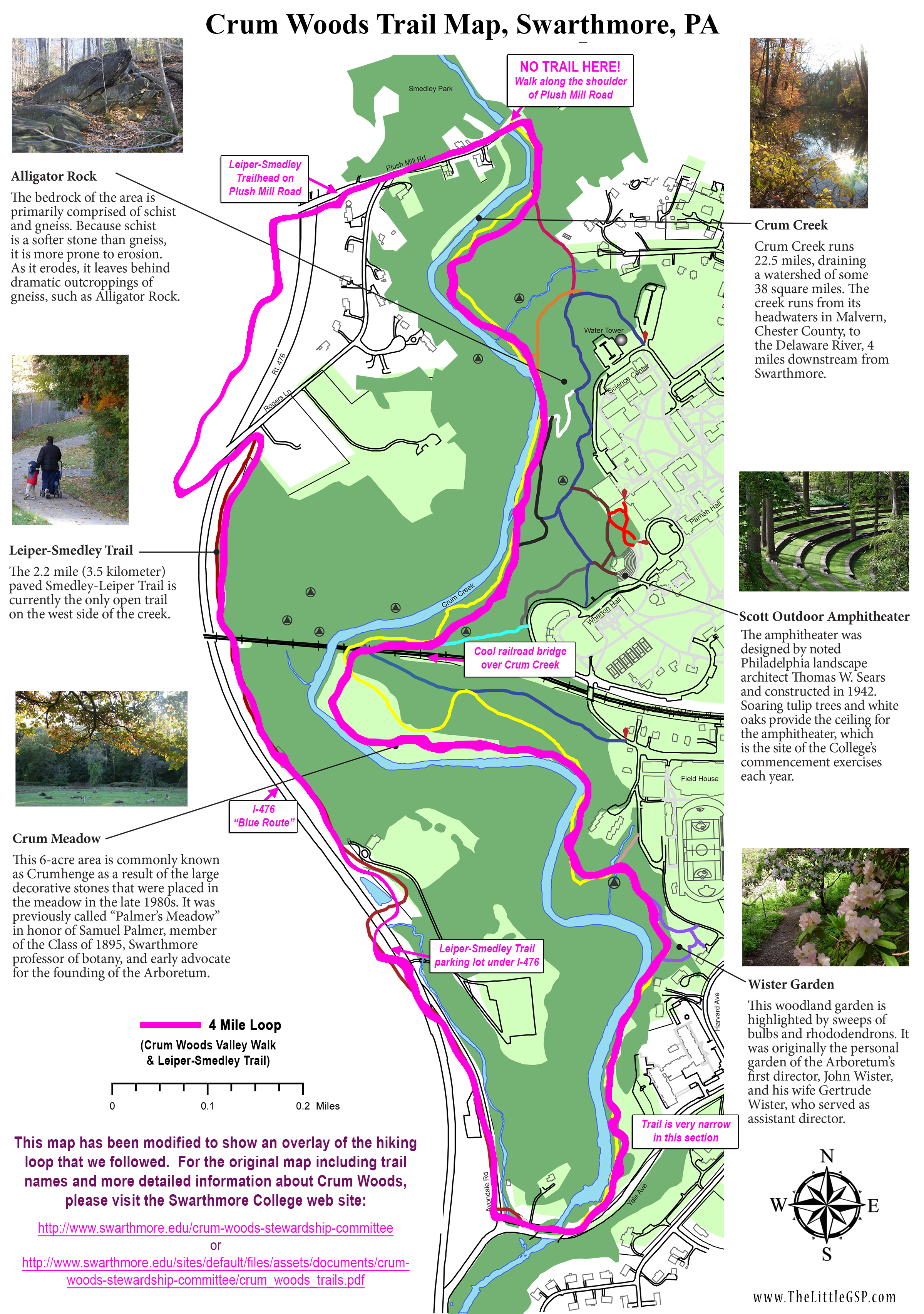
Anyway… I took The Photo while hiking with Pipe and Matt in Crum Woods. This 220-acre woodland is situated on the western edge of Swarthmore College’s campus in Delaware County, PA. It features 3.5 miles of hiking trails, fantastic views of Crum Creek, and a giant railroad bridge that carries Septa’s Media/Elwyn line over the creek.

Trail Map with our Route Overlayed

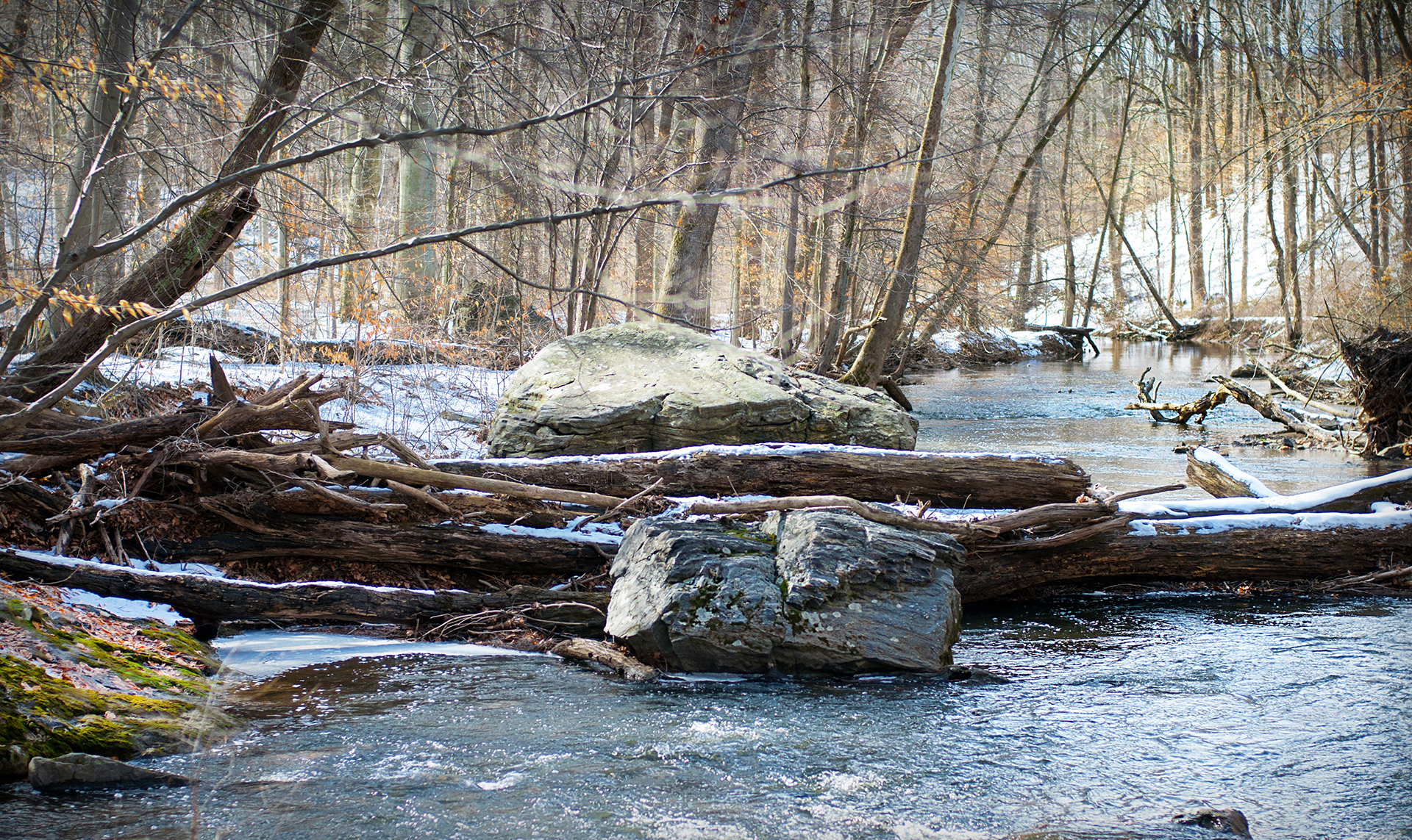
Treacherous southern end of the Crum Woods trail

A much nicer trail
To access the Crum Woods trail we parked on the western (opposite) side of Crum Creek at the Leiper-Smedley trail parking lot off of Avondale Road and walked down Avondale to Yale Ave. The trails in this southern section of Crum Woods were dotted with tree roots and sloped steeply down to the creek, but the path evened out to a nice walking trail once we made it north of the trailhead by the Swarthmore College fieldhouse.

Rail Trestle

I loved this bridge!

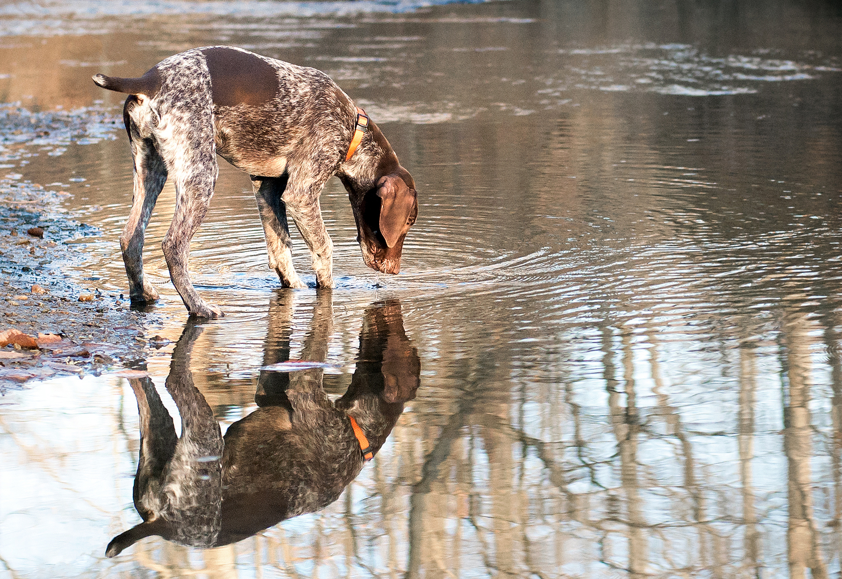
Piper in Crum Meadow

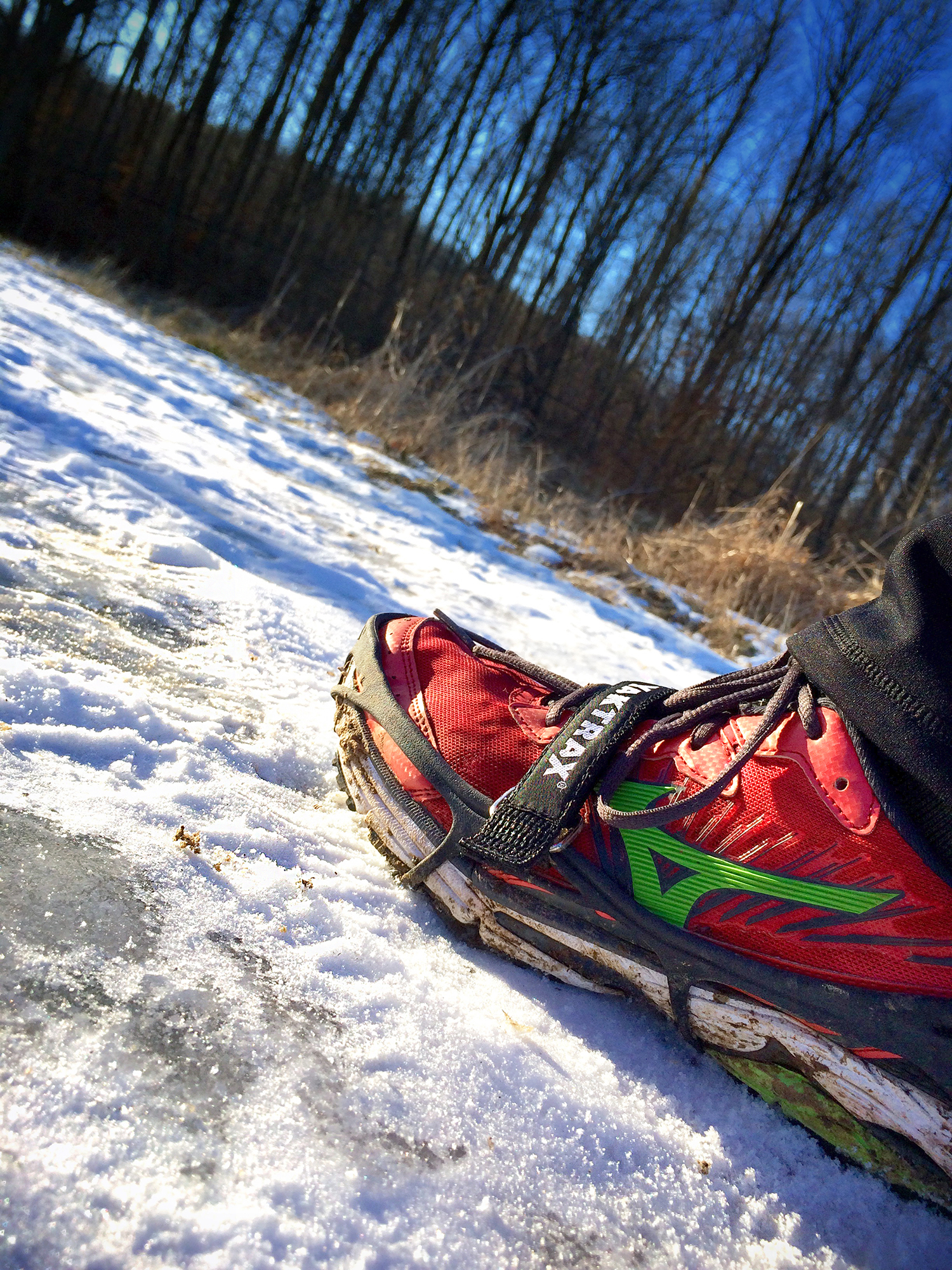
“This ice stuff is slippery!!”
I love train tracks and bridges, so it’s no surprise that my favorite part of Crum Woods was where the Septa rail line crossed Crum Creek. Just before reaching the bridge the trail emerged out of the woods into “Crum Meadow,” where Piper licked her first frozen puddle and we had great views of the trestles crossing the creek. The view from under the bridge was even more impressive and I may have made Matt and Piper wait around for 5-10 minutes just in case a train came along while we were under it. (Sadly, we did not see a train.)

After reaching the northern terminus of Crum Woods, we decided to make the hike more interesting by looping back to our car via the paved Leiper-Smedley trail on the other side of the creek. Unfortunately Crum Woods and Leiper-Smedley are not officially connected on the northern end, so in order to access L-S we had to jog a short stretch of Plush Mill Road and skirt along the shoulder until we reached the trailhead. We were lucky that Piper was still small enough for Matt to easily carry her during this stretch… this impromptu trail connection would not have been ideal if we had had a larger dog or small children in tow.

Rail Bridge over Leiper-Smedley

Piper on the Leiper-Smedley Trail
Our return trip along the Leiper-Smedley Trail was uneventful and mostly downhill, woohoo! I’ve run on this trail several times, most recently going UP the trail in the other direction at the Fueled Up and Fired Up 5K in September. The trail is well marked and has a much less exciting train bridge on it than Crum Woods… but it’s a train bridge nonetheless, so of course I took a picture!!
I definitely enjoyed our Crum Woods hike because I had never been to Crum Woods before, but overall it was a bit of a choppy walk and there are probably better hiking loops in the area. The southern portion of the trail was a little treacherous and the northern end didn’t technically connect to Leiper-Smedley, but with good hiking shoes and a quick jog up Plush Mill Road we made it work. Plus, Piper thoroughly enjoyed herself and was very tired afterwards… Mission Accomplished!!!

Useful Links:
• Crum Woods Web Site
• Official Crum Woods Trail Map & Brochure (PDF)
• High-res version of Crum Woods Map with our 4 mile hike overlayed (JPG)


")
")


")


")


